About the Airport
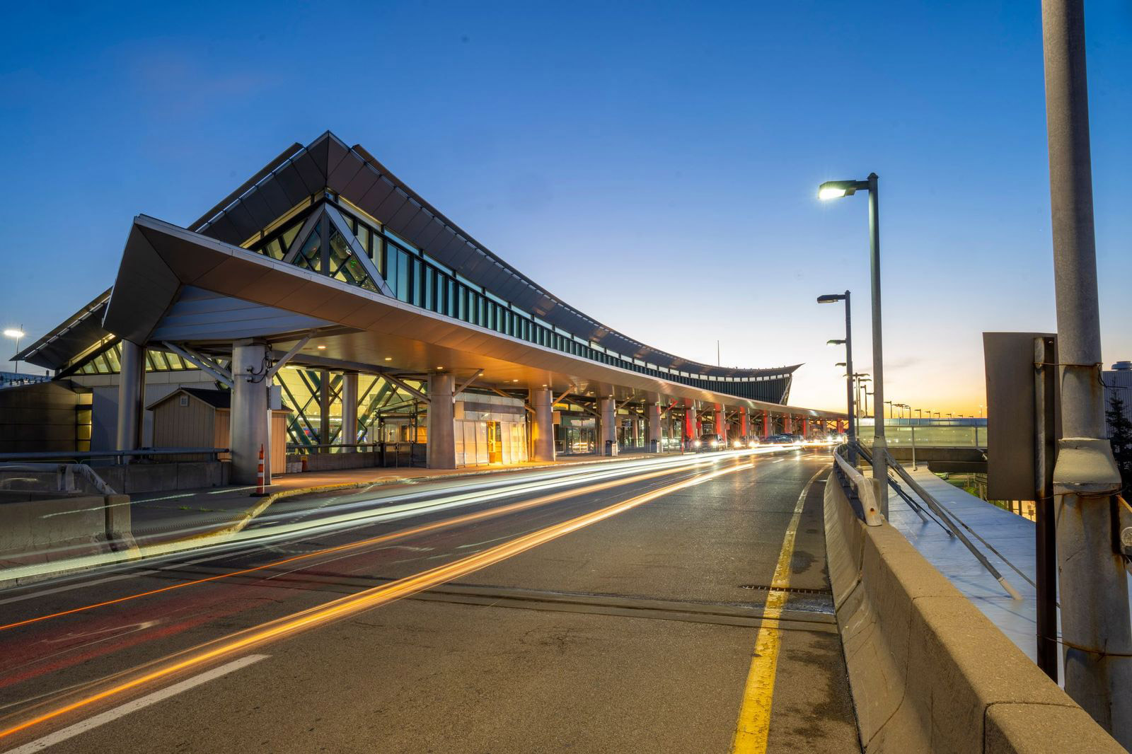
Buffalo Niagara International Airport (BUF) plays an essential role in the development of business and tourism in the Buffalo Niagara region, serving as a vital hub for economic growth and connectivity. With up to 100 nonstop flights per day to 31 destinations and connections to countless global locations, the airport ensures seamless travel options for residents, visitors, and businesses alike, fostering opportunities for commerce, cultural exchange and leisure.
A Master Plan update is currently underway and should be completed by end of 2025.
Current Master plan documents can be found here:
View Master Plan Documents
Maps & Directions
From Canada
From the Peace Bridge
- Take Interstate 190 North to Route 198 East
- From Route 198 East, take Route 33 East
- Route 33 East takes you to the airport
From the Lewiston/Queenston Bridge
- Take Interstate 190 South to Interstate 290 East, to Interstate 90 West
- From Interstate 90 West, take Route 33 East
- Route 33 East takes you to the airport
From the Rainbow Bridge (Niagara Falls)
- Follow signs to the Robert Moses Parkway East
- From the Robert Moses Parkway East, take Interstate 190 South to Interstate 290 East, to Interstate 90 West
- From Interstate 90 West, take Route 33 East
- Route 33 East takes you to the airport
From Erie
- Take Interstate 90 East
- Approximately 10 miles past the Hamburg toll plaza, take Route 33 East, which takes you to the airport.
From Rochester
- Take Interstate 90 West
- Approximately 1 mile past the Williamsville toll plaza, take Route 33 East, which takes you to the airport.